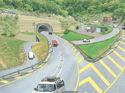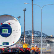
While, in order to registering to take part in the next stage of the planning process, the Planning Inspectorate inaugurates the period for the public, stakeholders and landowners, National Highways has published a new video fly-through, illustrating the route of the proposed Lower Thames Crossing.
Linking the A2 in Kent to the M25 in south Essex, the computer model presents a bird’s eye view of the bided new crossing. In order to shaping road’s design, the most comprehensive consultation and engagement program ever undertaken for a UK road scheme has been used, as National Highways states.
The date of submitting National Highways’s plans to the Planning Inspectorate was October2022, whereas later this year they are due to be examined by a panel of independent, government-appointed experts. Ahead of the examination, the Planning Inspectorate has opened the period for stakeholders and the public to register to become an Interested Party.
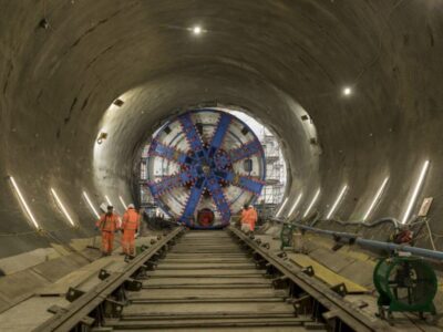
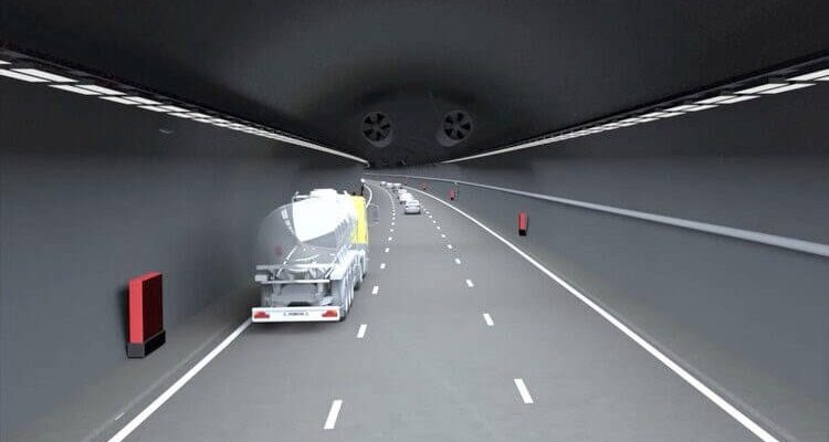
As the longest UK road tunnel, the twin-bore river crossing with 4.5km length and a diameter of over 16m, will be the widest tunnel in Europe. Also the location of over than 80 per cent of the route is slated to be beneath ground or behind landscaped embankments. Rather than a bridge, a tunnel was opted to decrease the environmental impact on sensitive ecological landscapes such as the Thames Estuary and Marshes.